
Walk a Freeport Street Address
Begin with the physical, or situs, address. Freeport property research works best as a chain because no single record identifies every person at a house. The assessor gives a parcel lead, WinGIS checks its place on the block, the Recorder supplies ownership events, and voter or library sources can add a dated registration or listing.
- Enter the house number range, street name, and Freeport city field in the Stephenson County assessment search. Save the PIN and displayed situs.
- Open WinGIS and compare the parcel shape, frontage, nearby lots, alley, and map labels. Treat the map as spatial evidence, not a survey.
- Use the Illinois voter lookup only when the required name, birth date, ZIP, street number, and street name are already known.
- Convert the address to PIN or legal description, then search Recorder records by grantor, grantee, date, or document type.
- For an older placement, check the relevant Freeport directory year, newspaper, plat, or Sanborn sheet and preserve the exact printed address.
A Freeport street directory result should label each relationship. Owner, mailing recipient, voter, permit applicant, and directory occupant are not interchangeable terms.
Search Freeport Streets in Devnet
The free Devnet wEdge portal supports both exact parcel work and a street range. Its initial form showed no required markers, login, payment, or export option. The data is periodically updated for assessment use and is not a title determination.
| Displayed field | Control | Street-directory use |
|---|---|---|
| Parcel Number | Text | Return to one PIN |
| Owner Name | Text | Test a known owner name |
| House Number Low / High | Text range | Browse a run of addresses |
| Street Name / City | Address fields | Limit the search to a Freeport street |
| Tax Codes / Districts / Classes | Optional selectors | Narrow assessment categories |
| Mobile Home Number / Owner / Address | Separate form | Search the mobile-home roll |
The portal showed an August 21, 2026 update, but no beginning year. Capture the result date, exact owner spelling, PIN, site address, mailing address if present, class, district, and assessment period. Search and Clear Form are the documented actions.
Map Freeport Streets with WinGIS
Stephenson County contracts with WinGIS for its interactive parcel map. The WinGIS Stephenson layers support parcel information, layers, measuring, and markup. A clicked parcel can supply spatial clues such as shape and frontage, but ownership and legal description still require assessment and Recorder checks.
Use the map to follow one named street past lot lines, side streets, alleys, and irregular parcels. Save the layer, extent, and access date. The exact search-panel order, coverage date, pagination, and export controls were not exposed during research, so do not assume a button or field that has not been confirmed.
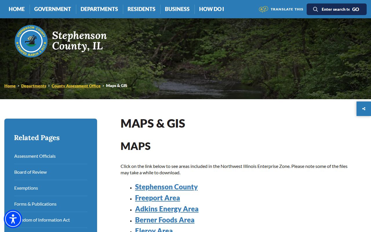
The county maps and GIS page documents the official map route and county coverage.
Freeport Street Records by Address
Each address-keyed source has its own keeper and meaning. The parcel number links assessment and mapping, while a legal description links land records across a changed street number. Public access may mean a free portal, a paid portal, a counter search, a written request, or a local-history room.
| Address record | Freeport-area keeper | Evidence returned | Access channels |
|---|---|---|---|
| Assessment roll | Supervisor of Assessments | Owner-name placement, PIN, situs, class and values | Devnet; county or township assessor |
| Parcel map | WinGIS and county assessment office | Shape, street frontage, nearby parcels and layers | Free interactive viewer; office map help |
| Deeds, liens and plats | Stephenson County Recorder and IRAD | Grantor, grantee, legal description, date and document lead | Tapestry; counter, phone, email, mail, archive |
| Permits and zoning | City development or county zoning | Applicant, tract, work, inspection, plan or violation event | iWorQ or city route; office; focused FOIA |
| Election geography | County Clerk | Ward and precinct context; registration confirmation | Maps, state lookup, counter or request |
| Historical address sources | Library, Historical Society, LOC and UIUC | Dated listing, building footprint, business or block context | Room, appointment, microfilm or digital image |
Record sets disagree for ordinary reasons. A tax notice may go elsewhere, a parcel may have split, a ZIP may not match city limits, or a historical number may have changed. Classify the mismatch instead of silently choosing one value.
Freeport Address Terms That Matter
Street research becomes more accurate when each address term keeps its narrow meaning. County forms and historical sources may show several forms of location on the same item.
- Parcel
- A mapped tract identified by a county PIN.
- Situs address
- The physical address assigned to the parcel for assessment.
- Legal description
- The lot, subdivision, or metes-and-bounds wording used to identify land in a deed.
- Plat
- A recorded map showing lots, streets, and other surveyed divisions.
- Criss-cross directory
- A directory arranged by address or phone rather than surname, when a volume provides that order.
A county sample tax notice lists one Freeport site address and a different Freeport mailing address. That difference is the point: the mailing recipient is not automatic proof of title or occupancy.
Freeport Deed Chains by Street
Take the PIN or legal description from Devnet and WinGIS into the Stephenson County Recorder route. Tapestry generally covers copies after July 1992 and accepts grantor, grantee, date range, consideration, document type, subdivision, parcel ID, or legal-description criteria. The live fee display differed from the older county PDF, so check the current cost before starting a paid search.
When an instrument is missing online, call or visit the Recorder at 50 W Douglas Street, Suite 500, email the office, or request the index and book/page. IRAD catalogs the county deed index from 1837 through 1938 and deed record from 1837 through 1962. The library and Historical Society can add context but do not replace the recorded instrument.
Follow current deed to prior deed, then continue backward by the same legal description. A conveyance establishes an ownership event. It does not establish that a grantee occupied the Freeport address.
When Freeport Numbers Changed
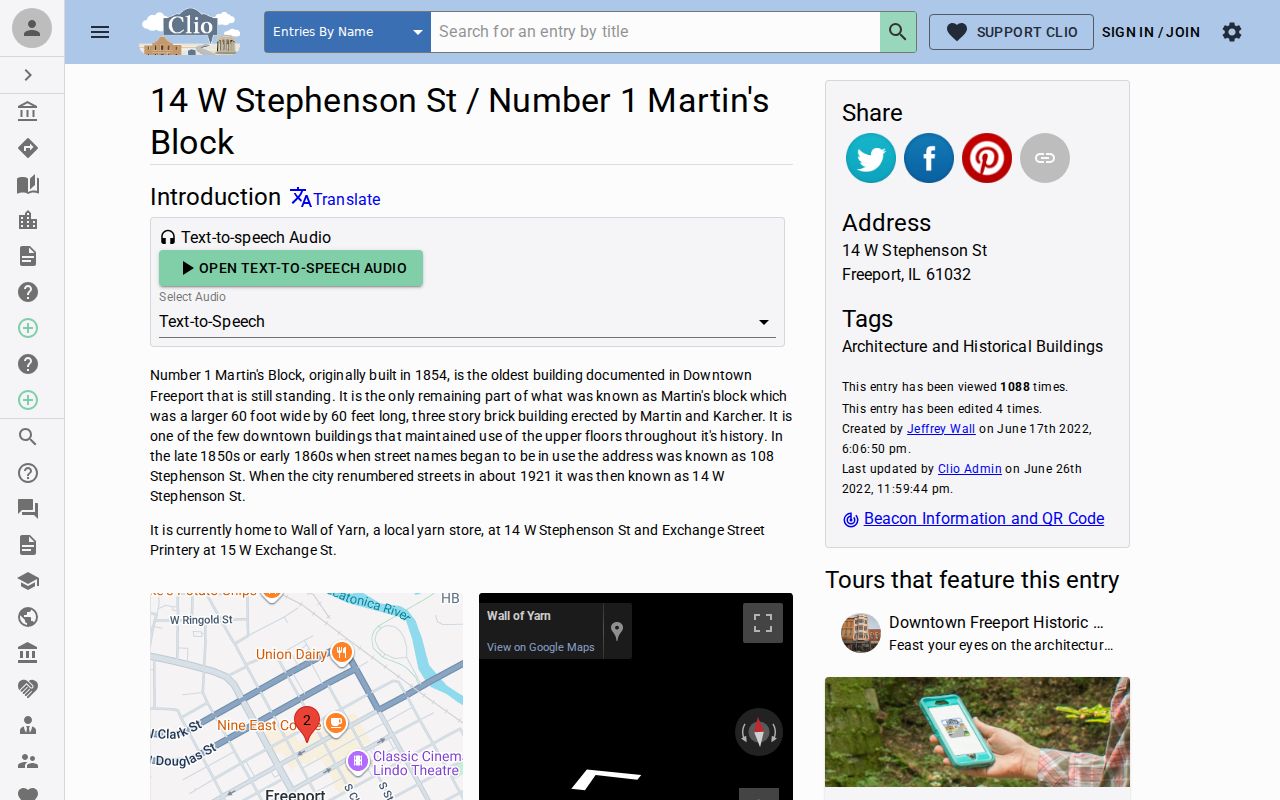
The strongest researched street-renumbering example is Number 1 Martin's Block. A local-history account of 14 W Stephenson links that modern number with 108 Stephenson Street in late nineteenth-century sources and dates the city renumbering to about 1921. It also ties directories, businesses, newspapers, and a deed citation to the building.
No official citywide conversion table was located. For another street, compare the last old-number listing with the first new-number listing, then test intersection, block, parcel shape, deed description, plat, and building footprint. Label the bridge confirmed, probable, or unresolved.
Freeport Permits Along a Street
City Community and Economic Development records can include building, electrical, plumbing, HVAC, sign, demolition, inspection, zoning, violation, site-plan, and annexation material. The city construction-permit page is the current route. Stephenson County zoning also provides tract, subdivision, aerial, permit, and ordinance information.
A complete public permit index and historical start date were not documented. Try iWorQ where the office directs it, then contact the city or county counter. If needed, make a narrow FOIA request that states the address, record class, and date span. A contractor or applicant name shows a role in the file, not residence.
Note: Preserve permit and inspection dates because a named applicant may have had only a short project relationship with the address.
Freeport Streets on 1910 Maps
The Library of Congress Freeport Sanborn set dates to July 1910 and contains 38 sheets. These fire-insurance maps can show block form, building footprint, construction notation, fire walls, and some occupancy or business labels. They do not show current ownership.
First identify the right sheet and block. Compare the historical footprint with a plat or the modern parcel map, then use the matching directory and newspaper year. Additional Freeport Sanborn years were not confirmed in the inspected official sources, so the 1910 set should not be described as a complete run.
Past Listings on Freeport Streets
Freeport Public Library reports city directories from 1857 to current and telephone directories from 1956 to current, both with missing years. The official catalog does not confirm a separate reverse-directory run. An address-first search may therefore require staff help or inspection of each volume's street or householder section.
Search adjacent years when a volume is missing. Surname and vertical files, newspapers, plat books, county histories, and school yearbooks can support a dated link. The Freeport city directory collections provide the full shelf guide; modern parcel work remains with the street directory.
Verify Freeport Street Geography
Postal, civic, and parcel geography answer different questions. Stephenson County's current ZIP page confirms Freeport as 61032, but USPS warns that ZIP boundaries do not necessarily follow municipal lines. Use a USPS result for delivery format, Devnet's city and site fields for assessment placement, and WinGIS for parcel geometry. Ward and precinct context comes from County Clerk maps.
The Illinois voter lookup begins with name, birth date, and five-digit ZIP, then requests a street number and a street name selected from that ZIP. It confirms a known registration relationship rather than listing everyone on a street. Counter, phone, email, mail, and FOIA channels depend on the election record requested, and Illinois restricts voter-data copying and use.
When sources disagree, name the type of mismatch: mailing versus situs, ZIP versus city, parcel versus ward, or current versus historical. A conflict can be useful evidence. Do not erase it by forcing each system to match the same address.
Save the exact address string from each source, including direction, suffix, unit, and ZIP when printed. Then record the access date and the role attached to the name. That small discipline separates a true address change from a spelling choice, stale record, or different geographic system.
Limits of Freeport Street Directory
A property roll does not list every occupant. A deed may be old, a mailing address may be remote, and a voter registration may lag a move. Driver data is restricted, vital records have eligibility rules, some court files are sealed, and Illinois Address Confidentiality Program records require special care. No official current Freeport neighborhood or HOA roster was located.
Lawful use. Freeport address records support personal property, history, estate, and civic research. Never use them to stalk, harass, intimidate, or uncover a protected location.
Publish the least detail needed. Cite the keeper, record type, date, and relationship shown. When the street directory cannot prove occupancy, say so plainly and stop at the documented fact.
Repeat the official check close to the time of use. Parcel ownership, assessment data, registration status, permit routes, office hours, and online charges can change independently.
For family or house history, keep copies of the directory page, map sheet, deed reference, and newspaper citation together. That source packet lets another researcher test the same Freeport address without exposing more personal detail than the historical or property question requires.