
Freeport Neighbor Record Sources
No official public roster names everyone on a Freeport block. Instead, separate sources describe parcel geometry, assessed ownership, land instruments, civic lines, and work at an address. The table keeps those claims narrow.
| Block source | What it can show | Access route |
|---|---|---|
| WinGIS parcel layer | Shapes, frontage, alleys, nearby PINs, and measure context | Free interactive county map |
| Devnet assessment roll | Owner-name lead, PIN, site address, mailing field, class, and value | Free online search; assessor fallback |
| Recorder deed index | Grantor, grantee, date, and legal-description links | Paid Tapestry; counter and IRAD for older deeds |
| Permit and zoning files | Work, applicant, tract, inspection, or zoning event | iWorQ, office, or FOIA; coverage varies |
| Ward and precinct maps | Civic geography around the block | County Clerk elections page |
| Historical directories | Year-specific listed names and addresses | Freeport Public Library, in person |
An owner name is not a list of current neighbors. The mailing address may differ from the site, and a homestead flag is not proof that a named person is there today. The safest description states the source, date, and relationship: assessed owner, deed party, permit applicant, registered voter self-check, or historical directory entry.
Freeport Parcels Define Adjacency
The WinGIS Stephenson County map provides parcel layers, clicking, measuring, and markup. It can distinguish a lot that shares a boundary from one that only looks close across an alley. The exact static search-panel controls and export options were not captured, so do not promise a buffer button or downloadable neighbor list.
Begin with the subject PIN or site address. Click outward one parcel at a time. Record the parcel ID, street frontage, shared line, alley, and map layer. Then confirm each owner-name lead through the assessor. GIS geometry is not a survey and does not prove residence or title.
Note: Define the block radius before collecting names so the research does not expand beyond the original civic or property question.
Map a Freeport Neighbor Block
The adjacent-parcel method joins map shape to assessment context. It stays focused on the immediate block, while the Freeport street directory handles a full named street.
- Normalize the street number, directional, and suffix. Find the site in Devnet or WinGIS and save its PIN.
- Trace the polygon. Note every parcel sharing a line, plus lots across an alley or street if the research question includes them.
- Open Devnet wEdge for each PIN. Copy only the public assessment fields needed to identify the parcel.
- Keep site and mailing addresses separate. A different mailing address can belong to the same assessment account.
- Use Recorder records only when a transfer or legal description matters. Date each result.
The county maps and GIS page confirms that Stephenson County contracts with WinGIS. Its map list also supplies broader Freeport-area context. If the interactive viewer fails, call the County Assessment Office or use the township assessor rather than guessing from a commercial map.
Freeport Neighbor Deed Context
The Stephenson County real-estate records page explains the Recorder route. Deeds connect parties to a land instrument at a date; they do not show every member of a household. Online copies are generally available after July 1992, with older work moving to the Recorder counter or IRAD.
The successful manifest image below documents the official county route used for neighboring parcels.
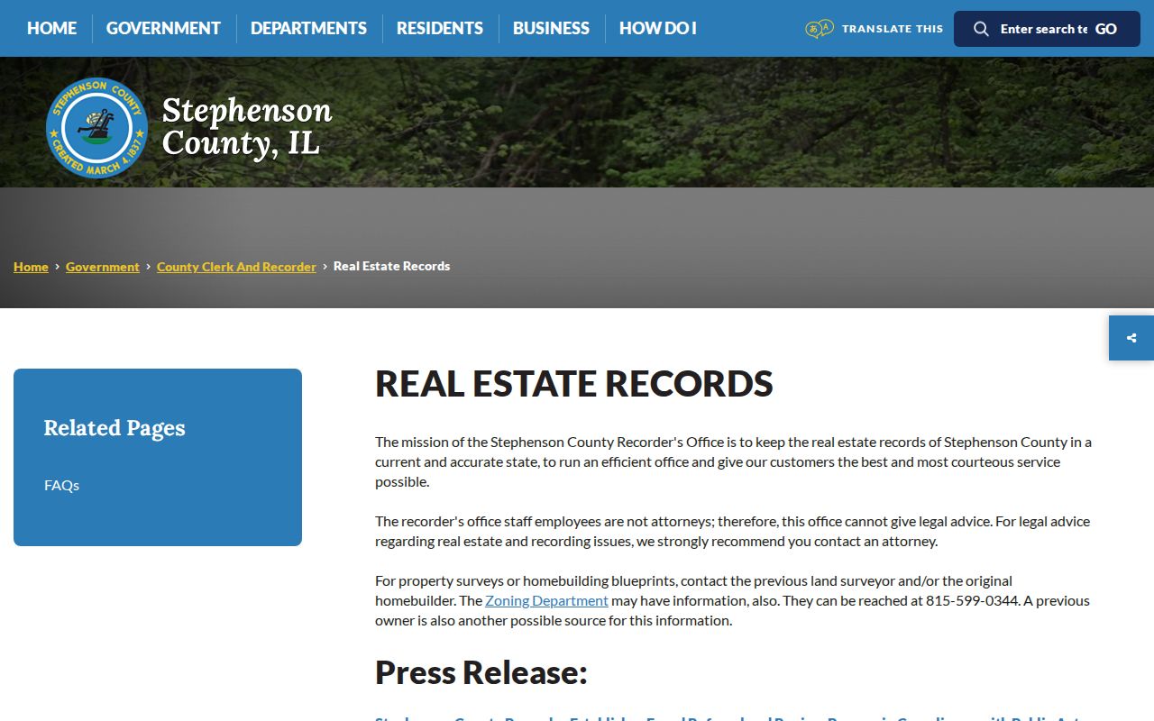
Use the county source after the map yields a PIN or legal description. Avoid a name-only conclusion when several people share a surname.
Freeport Block Activity Records
County zoning public information can include tract activity, aerial photographs, subdivision and zoning files, permits, violations, and inspection history. The county zoning information page is one access point, while city construction permits use a separate city route. No complete searchable start date was found.
The county's public-information page appears in the image below. It documents a records channel, not a finding about any specific neighbor.
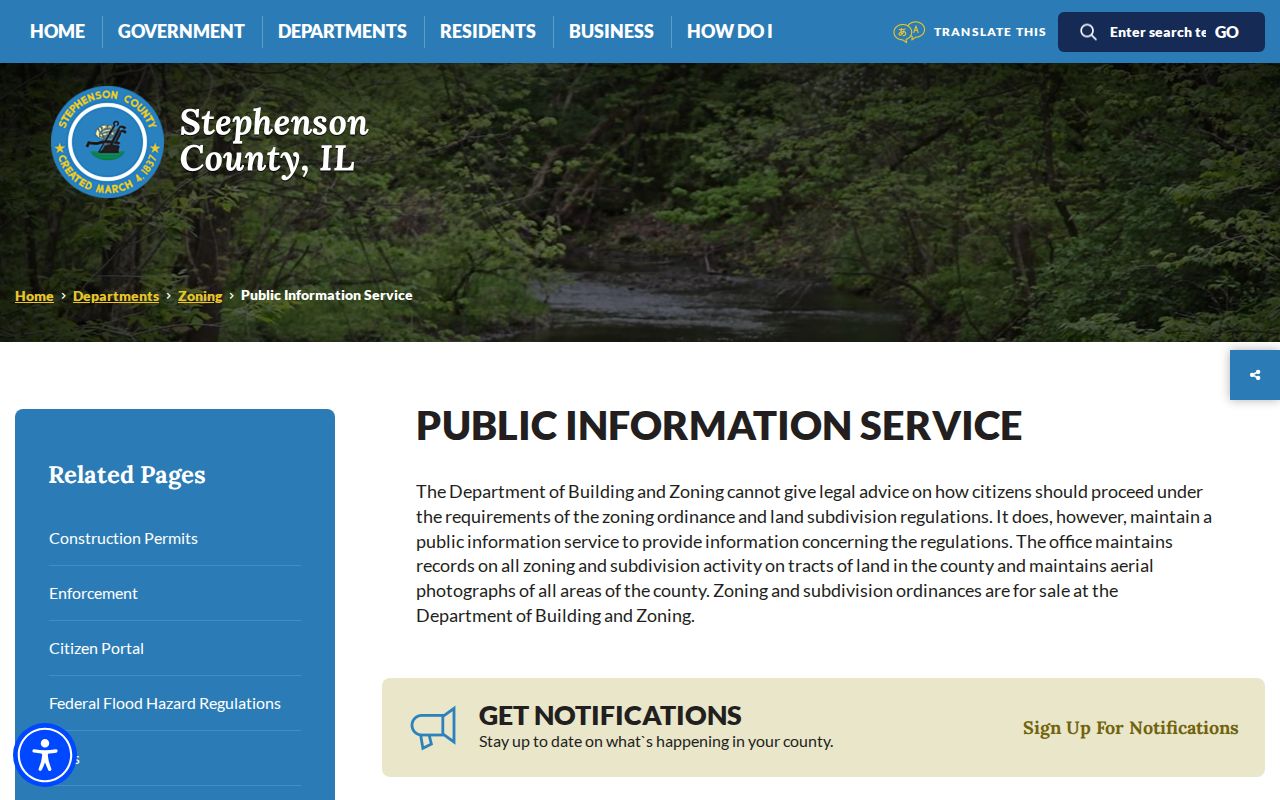
Ask for a defined parcel, tract, record type, and date span. Illinois FOIA may reach non-exempt administrative files, but it does not create an address roster or override confidential material.
The county also uses an iWorQ permit portal. Its manifest capture follows the source link below.
Open the Stephenson County permit portal.
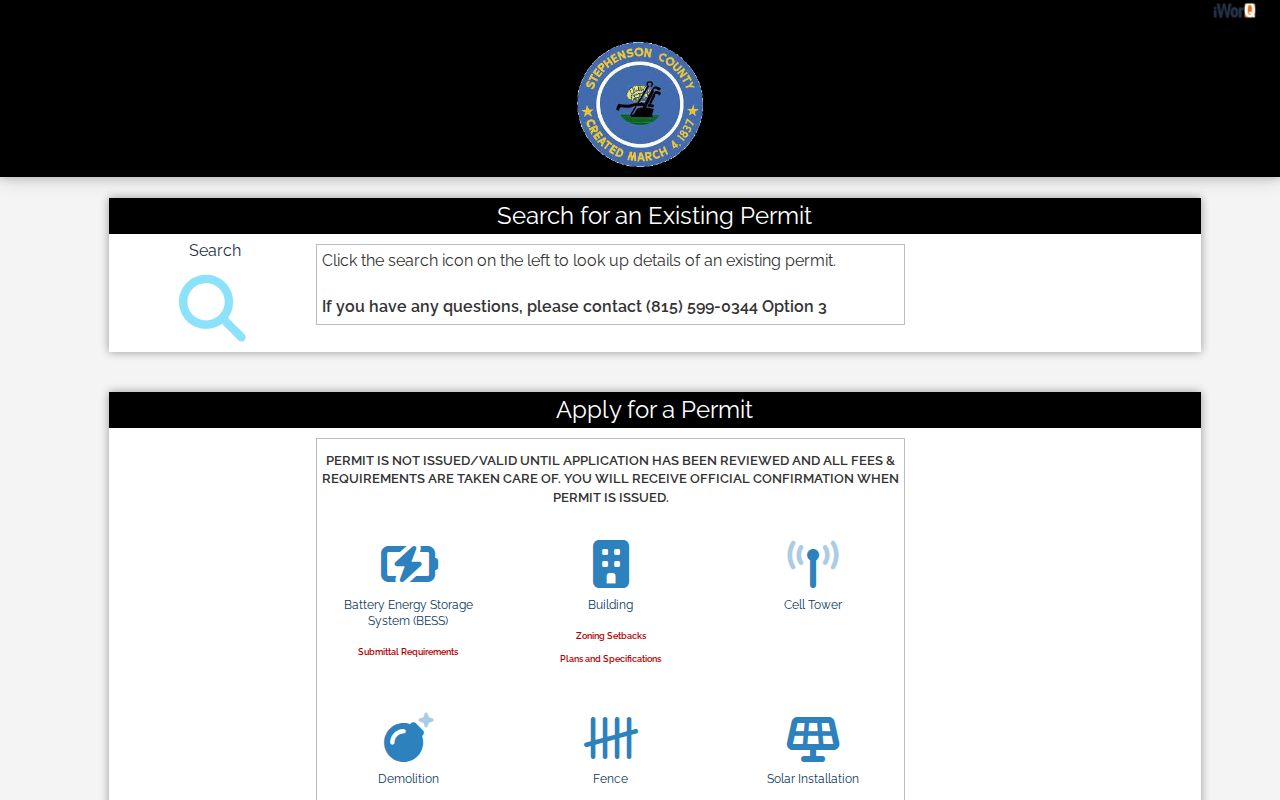
A permit ties an applicant or project to a dated filing. It does not establish who occupied every nearby parcel.
Freeport Neighbor Civic Lines
The County Clerk elections page links Freeport ward and precinct maps, rural maps, results, registration instructions, and vote-by-mail material. Those maps place a block in civic geography. A ZIP cannot substitute for them.
The captured county page below records the ward and precinct map route.
Illinois's public voter self-lookup asks for a name, birth date, ZIP, then street number and a ZIP-populated street. It is not a public block roster. Broader voter data has statutory purpose and use limits, so describe the precinct without harvesting resident details.
Freeport Community Directory Gap
No official current neighborhood-association or homeowners-association roster was located for Freeport. That gap matters. The Greater Freeport Partnership has a member directory with name, category, and ZIP filters, including clubs, organizations, churches, schools, and other civic groups. It lists member organizations, not households.
Greater Freeport Partnership
Use the member directory to identify public civic organizations. Confirm any neighborhood role with the organization itself.
County Clerk
Use official ward and precinct maps for civic boundaries, not membership or resident names.
Freeport Public Library
Use historical directories and newspapers when the question concerns a block in an earlier year.
Congregation, club, school, or association contact lists may be private even when the organization has a public page. Ask for public history or program information, not a member roster.
Official Freeport Neighbor Records
Commercial neighbor tools may merge stale address, phone, and inferred relationship data. Official records are narrower but show their keeper and record purpose. Neither category should be treated as a live roll of everyone on the block.
| Route | Strength | Limit |
|---|---|---|
| Official parcel and deed records | Dated source, PIN, legal and assessment context | Owner or deed party is not proven occupant |
| Official maps and permits | Geometry, civic line, or dated project | Do not identify every household member |
| Commercial category | May suggest spellings or older links | Unclear sourcing, merges, stale data, and accuracy risk |
For personal safety or civic curiosity, prefer the smallest official record that answers the question. Verify with the custodian and do not republish exact personal details.
Check Freeport Parcel Fields
Devnet's exact search fields make the assessment roll a practical companion to the parcel map. The initial form displays Parcel Number, Owner Name, House Number Low, House Number High, Street Name, and City. Advanced selectors cover tax codes, tax districts, and property classes. No required markers, login, payment, or export control appeared on the inspected first screen.
| Field | Block-level use | Caution |
|---|---|---|
| Parcel Number | Confirm one polygon after a WinGIS click | Not a street or ZIP identifier |
| Owner Name | Find the assessment account tied to a parcel | Does not prove current occupancy |
| House Number Low and High | Limit a short address range | Check renumbered or missing addresses |
| Street Name and City | Match the site address | Postal city may not settle jurisdiction |
| District and class selectors | Add tax and property context | Do not identify household members |
A county sample tax notice shows why the distinction matters. Its site address is 620 E Iroquois, while its mailing address is 1015 S Oak. The sample is dated and does not describe the current status of either location. It proves only that site and mailing fields can differ on one assessment record. Do not turn the mailing recipient into a claim about a neighbor at the physical parcel.
When Devnet or WinGIS does not answer the question, use the office channel. The Freeport Township assessor is listed at 524 W Stephenson Street, Suite 214, with phone 815-232-6131. The Board of Review is listed at 50 W Douglas Street, Suite 500, with phone 815-235-8260. Call for current hours and ask about one parcel or one field, not a list of residents.
A neighbor block sheet should record the portal, access date, search field, exact owner spelling, PIN, site address, mailing address if relevant, tax district, property class, map layer, and source warning. Add the deed document only when ownership history matters. This keeps the study reproducible while minimizing copied personal details.
For adjacent parcels with an old or unclear address, compare the legal description, frontage, alley, and lot shape. The 1910 Sanborn set can help with historical block form, but its 38 sheets do not identify present neighbors. The modern assessment and deed sources must carry the current parcel conclusion.
Privacy for Freeport Neighbors
Public parcel, permit, and election records do not create a right to expose private contact details. Illinois's Address Confidentiality Program lets qualifying survivors use a substitute address for new state and local records. Existing property records are not automatically removed. If a protected-address signal appears, do not use adjacent sources to infer the confidential location.
Utility and delivery data were not identified as public neighbor-directory sources. Assessment data carries a warning that it is not a title determination. Historical directories can name people who later moved or died. State stalking law also bars a course of conduct that causes reasonable fear or distress, including surveillance and unwanted contact.
Lawful use. Freeport neighbor research may support civic curiosity, history, or personal safety. Never use it to watch, harass, intimidate, or locate a protected person.